The 5 Absolute Best Hikes in Vancouver
Vancouver is one of Canada’s densest, most ethnically diverse cities, with a dynamic arts and music scene and world-class dining. Still, perhaps what is most striking is the city’s setting. Enveloped by the Georgia Strait and the North Shore Mountains, Vancouver is home to one of North America’s largest urban parks and old-growth forests. Indeed, one of the most remarkable things about this spirited seaport city is that Vancouver’s urban center is surrounded by wilderness, much of which can be explored by a variety of trails. Here, six of the absolute best hiking trails around.
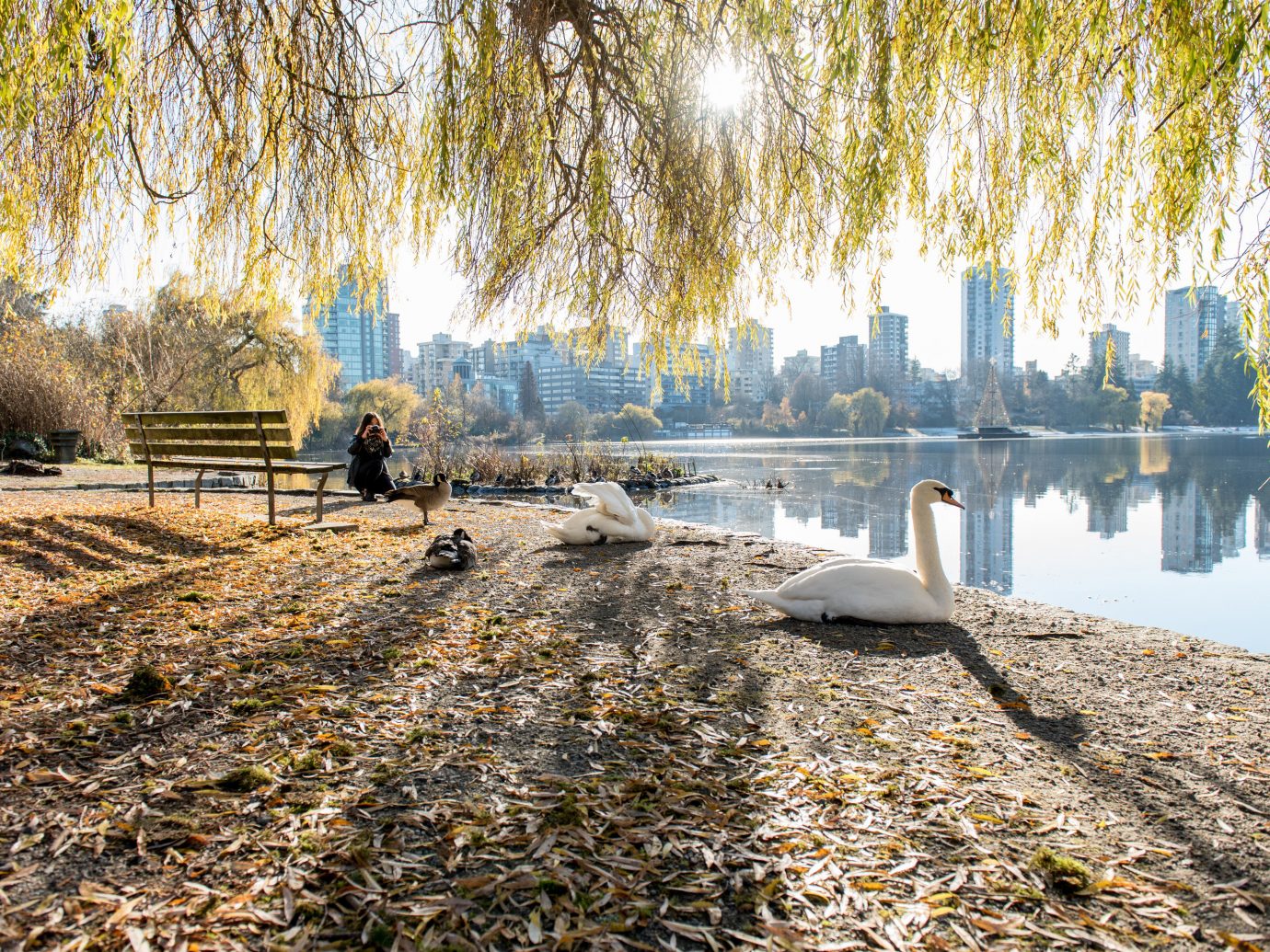
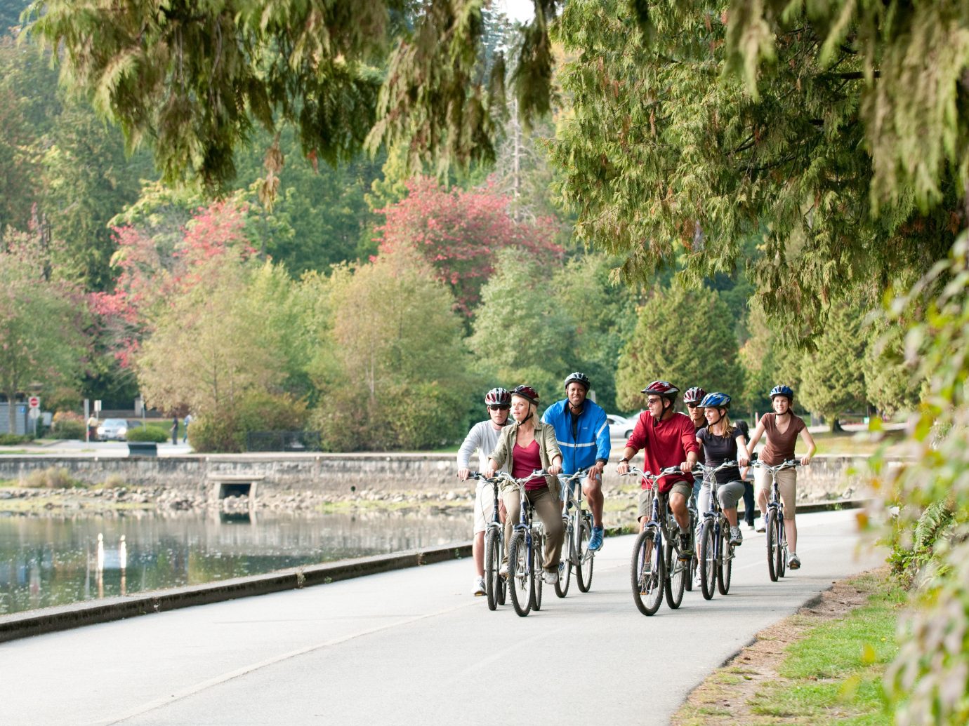
Beaver Lake Trail, Stanley Park
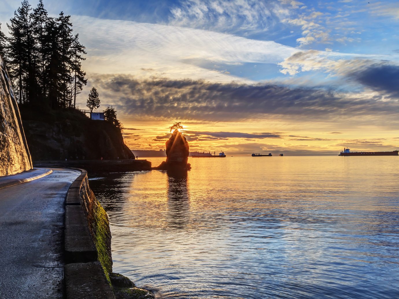
You’ll find Beaver Lake Trail in Stanley Park, a 1,001-acre expanse located next to downtown Vancouver. Bring along your camera and snap scenic shots of the West End’s apartment buildings, English Bay Beach and the bustling inner harbor’s boats and seaplanes.
This hike takes you through diverse terrain and can be walked any time of year. Access to the Beaver Lake Trail starts from the Stanley Park Seawall (a 6.2-mile seawall loop around Stanley Park) and takes you through ancient forest lined with cedar, hemlock and Douglas fir trees and then leads to the lake, where you can watch ducks, herons and other wildlife.
Difficulty: Easy
Distance: 2.5 miles
Duration: 2 hours
Trans Canada Trail, Burnaby Mountain
A 35-minute drive east from Vancouver, this year-round hike on Burnaby Mountain is part of a network of 26 multi-use trails that cross more than 1,400 acres within the Burnaby Mountain Conservation Area.
The Trans Canada Trail starts from the east side of the Pipeline Trail along North Road and leads to the top of the mountain. Hikers are rewarded with a fabulous panorama of the North Shore Mountains and Burrard Inlet, a long, shallow fjord that winds its way from the ocean to Port Moody in the northeast.
The trail takes you back down the mountain and will cross several other trails along the way where you can observe the different pathways on the mountain.
Difficulty: Easy
Distance: 4.6 miles
Duration: 3 hours
Dog Mountain Trail
Starting from Mount Seymour, one of three ski mountains on Vancouver’s North Shore, Dog Mountain Trail is a short, easy hike. More than worth the 50-minute drive from downtown Vancouver, this trail gives hikers a spectacular view of the forest, Vancouver skyline and harbor, and the distant peaks of Vancouver Island.
While the trail has minimal elevation gain and is only about 3 miles round-trip, it should be noted that the path is a bit more technical, requiring careful steps along several sections that are covered with slippery tree roots, even between June and October when this trail is open.
Difficulty: Easy
Distance: 3 miles
Duration: 3 hours
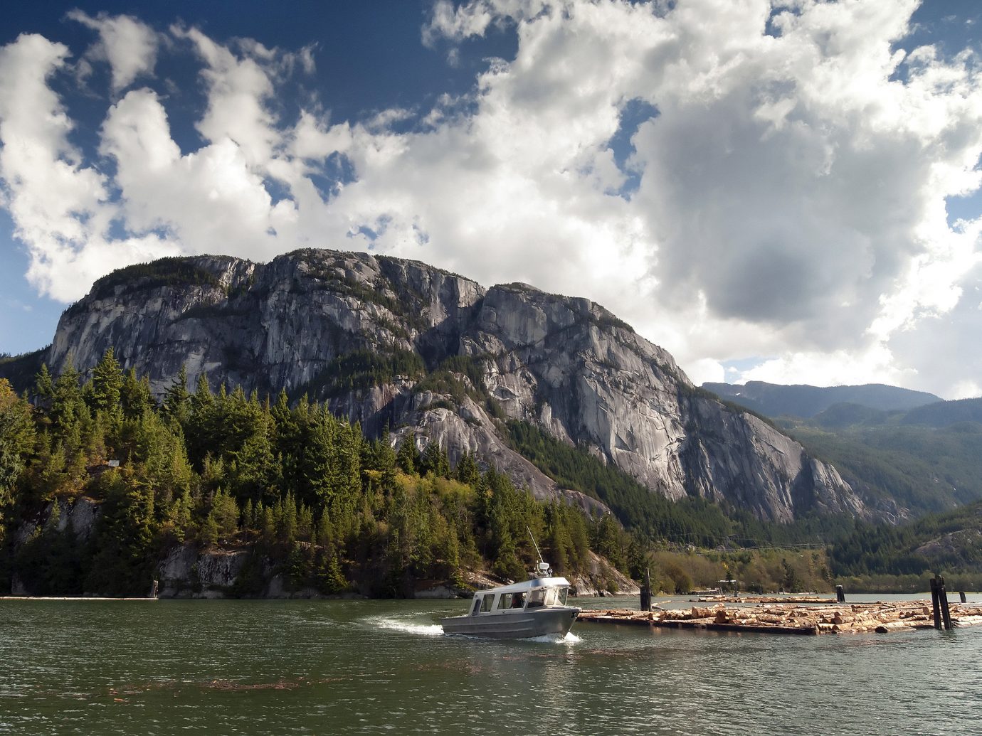
Second Peak Trail at Stawamus Chief Mountain
Drive one hour to Squamish, where you’ll find Stawamus Chief Mountain towering over the town. Second Peak Trail is one of three peak trails on the world’s second -largest granite monolith.
Because Second Peak is the middle summit, with the First Peak to the south and the Third Peak to the north, the trail rewards hikers with sightings of the Chief’s other peaks plus views of the expansive Howe Sound (North America’s southernmost fjord) and several mountains in Garibaldi Provincial Park.
Be sure not to miss the most spectacular sight of a huge slab of granite that hangs over the trail.Note: This hike is only possible between March and November, weather permitting.
Difficulty: Intermediate
Distance: 3 miles
Duration: 6 hours
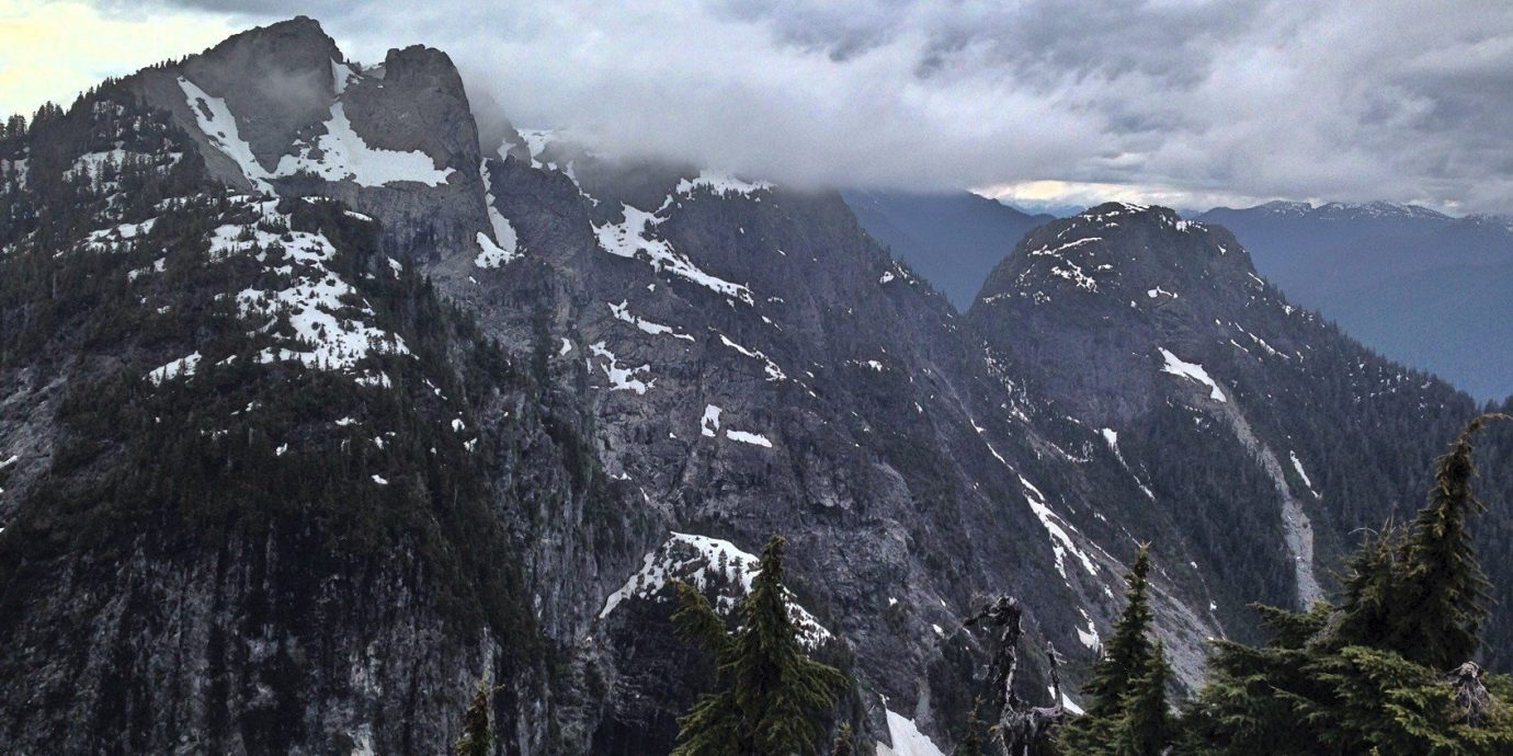
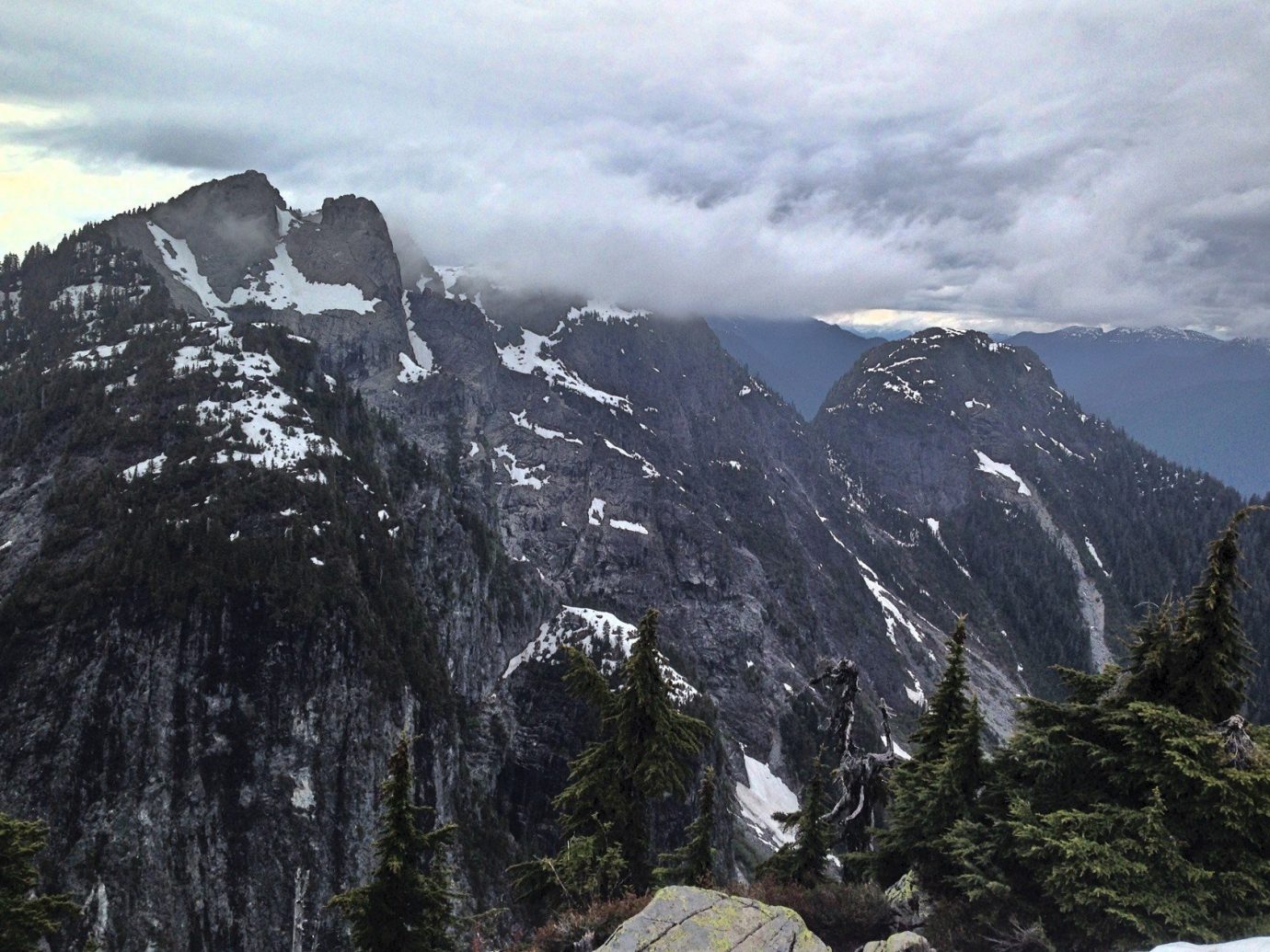
Alpine Trail, Crown Mountain
The rugged Alpine Trail hike to Crown Mountain, behind Grouse Mountain, on Vancouver’s North Shore may be very difficult, but on a clear day, you will see views of the Capilano Reservoir, the snow-covered Lions peaks of the North Shore Mountains, and the distant city of Vancouver, as well as many coastal mountains.
To access the trail, head to the peak of Grouse Mountain and register your hike with Lynn Headwaters Regional Park. Start the Alpine Trail and head across the eastern slopes of Dam Mountain. The trail winds toward a small pass between Goat and Little Goat mountains, which leads toward Crown Pass.
With the aid of fixed chains, you will embark on a steep, and often slippery, descent into Crown Pass, after which you will begin the ascent to Crown Mountain. This intense hike gains elevation fast, rising through the forest and passing imposing cliffs until you reach Beauty Peak, taking about three hours to get to the top. Enjoy the views before retracing your steps back down the mountain.
Difficulty: Difficult
Distance: 6 miles
Duration: 6 – 7 hours
More from Marriott Traveler:
- A Gooey, Local’s Guide to the Best Poutines in Montreal
- Your Guide to Ramen Slurping Like a Local in Vancouver
- Meet Chris Whittaker, Vancouver’s Veggie-Loving, Nose-to-Tail-Cooking Chef
Read the original story: Stepping Out: Where to Find the Best Vancouver Hikes by Sheila Taylor, who is a regular contributor to Marriott Traveler
Comments
All products are independently selected by our writers and editors. If you buy something through our links, Jetsetter may earn an affiliate commission.